


5.8 km | 6.2 km-effort

Tous les sentiers balisés d’Europe GUIDE+


FREE GPS app for hiking
 SityTrail
IGN / Geographical institutes
SityTrail World
The world is yours!
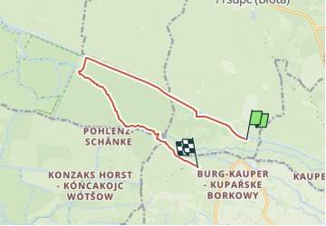
Trail On foot of 9.7 km to be discovered at Brandenburg, Dahme-Spreewald, Straupitz (Spreewald). This trail is proposed by SityTrail - itinéraires balisés pédestres.
Symbol: horizontaler gelber Balken auf weißem Grund
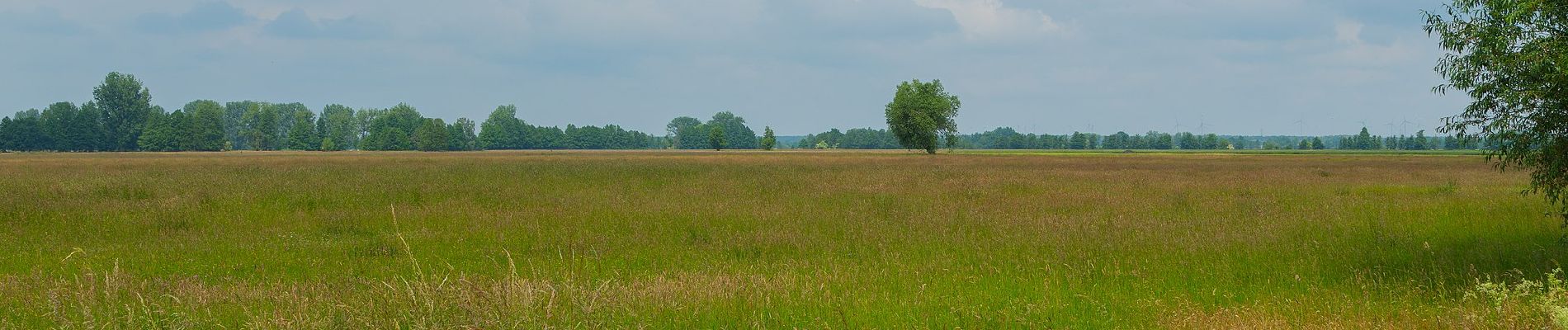
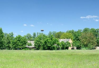
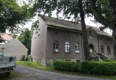
 - Wanderweg Kannomühle-Burg... - Photo 1")
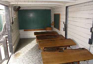
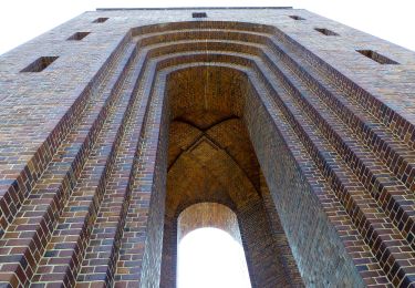
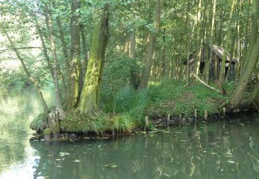
 - Wanderweg Kannomühle-Burg... - Photo 2")
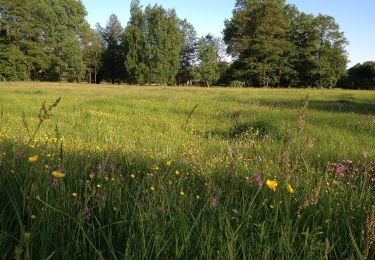
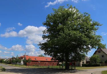
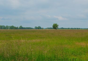
 - Wanderweg Kannomühle-Burg... - Photo 3")
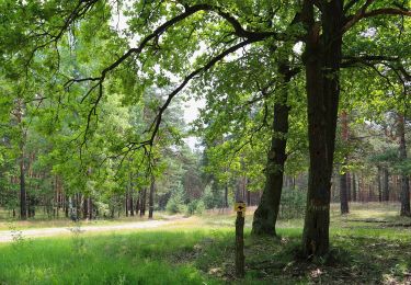
 - Wanderweg Kannomühle-Burg... - Photo 4")
 - Wanderweg Kannomühle-Burg... - Photo 5")
 - Wanderweg Kannomühle-Burg... - Photo 6")
 - Wanderweg Kannomühle-Burg... - Photo 7")
 - Wanderweg Kannomühle-Burg... - Photo 8")
 - Wanderweg Kannomühle-Burg... - Photo 9")
 - Wanderweg Kannomühle-Burg... - Photo 10")
On foot
On foot
On foot
On foot
On foot
On foot
On foot
On foot
On foot